
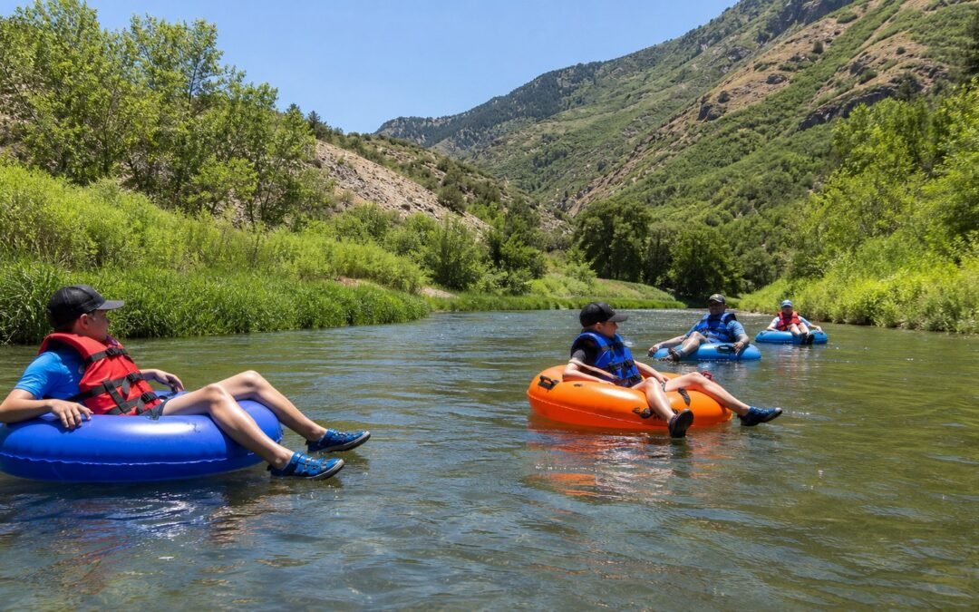
The lower Provo River can feel different from one week to the next even when the weather looks nearly identical. One reason sits upstream: water released from Deer Creek Reservoir becomes the river below the dam.
That makes the release number worth checking. It does not turn a CFS reading into a yes-or-no answer for your family. The useful question is simpler: what changed, when was the reading taken, and how does the river look when you arrive?
Quick answer
Deer Creek Dam regulates much of the water entering the lower Provo River. When the release changes, the river’s depth, push and pace can change too. CFS means cubic feet per second, a measure of how much water passes a point each second. It is a flow measurement, not a safety rating.
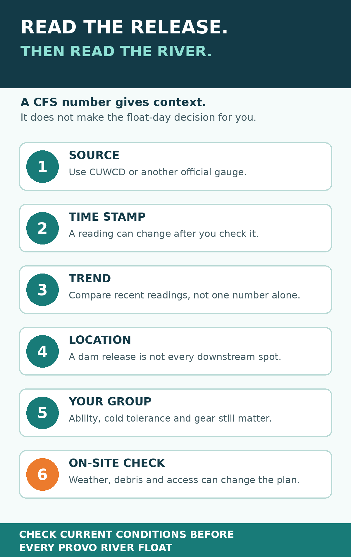
Before a float: check an official release source, read the time stamp, compare recent values, check weather and access, then make the call for your actual group. Recheck before you leave because release data is provisional and can change.
What Deer Creek releases have to do with a Provo River float
Deer Creek Reservoir is part of the federal Provo River Project. Water stored behind the dam serves several purposes, and operators release water into the Provo River below it. The Bureau of Reclamation’s Provo River Project page provides the project background, while local operating data is published by Central Utah Water and the Provo River Water Users Association.
For a tuber, the practical part is the water entering the reach below the dam. More released water means more volume moving into that reach. Less means less volume. But volume is only part of what you feel in a tube.
The same flow does not look or feel identical everywhere. River width, depth, bends, rocks, bridge openings and other channel features affect how water moves through a particular spot. Farther downstream, diversions and other inflows can also make a release reading different from the amount passing another location.
This is why the dam-release number is good context but a poor shortcut. It helps explain why the river changed. It cannot tell you whether every bend is comfortable for a child, whether new debris is present, or whether today’s weather and access work for your plan.
CFS without the engineering lecture
CFS stands for cubic feet per second. The U.S. Geological Survey explains streamflow as the volume of water moving past a point over time. One cubic foot is about 7.48 gallons, so 1 CFS means roughly 7.48 gallons passing the measuring point each second.
That conversion makes CFS easier to picture, but it still does not tell you river speed by itself. Put the same volume through a broad reach and a narrow opening and the water will behave differently. A tube rider experiences the channel as much as the number.
Release, gauge reading and daily average are not interchangeable
Official sites may show related numbers with different labels and time periods. Central Utah Water’s dashboard identifies a Deer Creek Reservoir “release to stream.” The Provo River Water Users Association’s Deer Creek data includes an average release by day along with reservoir and aqueduct information.
An early-morning release reading is an instant snapshot. A daily average summarizes a full day. A gauge at another location measures that location. Before comparing two numbers, check the label, site and time period.
A real example from July 28, 2026
At 2:15 a.m. Mountain Time on July 28, Central Utah Water’s streamflow dashboard reported a Deer Creek Reservoir release to stream of 577.25 CFS. The dataset labels that reading provisional and subject to change.
That number is included as an example, not a recommendation or threshold. By the time you read this, it may be outdated. Open the dashboard and use its current time stamp rather than copying the value from this article.
There is another date trap worth knowing. The USGS page for the Provo River below Deer Creek Dam is useful for historical context, but its continuous discharge record on that page ends in 2003. A page can display a familiar gauge name and still be the wrong source for today’s float. Read the latest measurement date before trusting any number.
How a release change can show up on float day
The river may have more push
When more water moves through the channel, some sections can feel more forceful and leave less time to adjust your line around obstacles. That matters around bends, bridges and places where the channel narrows. It is not a universal speed formula, and it is not permission to float just because the number looks familiar.
Some rocks and obstacles may look different
A lower reading can expose rocks or create shallow contact points. A higher reading can cover features that were easy to see on another trip. Either way, yesterday’s memory is not an inspection of today’s river.
Cold-water exposure still counts
Release changes do not turn the lower Provo into warm water. Water leaving the reservoir can remain cold through summer, which is one reason a life jacket, real river tube and realistic trip length matter. Our guide to why the Provo River stays cold explains what that means for planning.
Your float time may change
Groups often want a precise trip time. Flow is one input, but stops, channel conditions, crowding, put-in and takeout logistics, and the group’s ability all affect the day. Build margin into transportation plans rather than promising the group an exact finish time.
A five-minute release check before you go
- Open the official source. Start with the Central Utah Water streamflow dashboard.
- Find Deer Creek’s release to stream. Do not confuse it with reservoir elevation, inflow, aqueduct release or a gauge at another location.
- Read the time stamp and data note. If the reading is old, missing or provisional, treat it accordingly.
- Look at the recent trend. A move up or down gives more context than one isolated number.
- Run the rest of the float check. Weather, road access, parking, equipment and the people in your group still decide whether the plan makes sense.
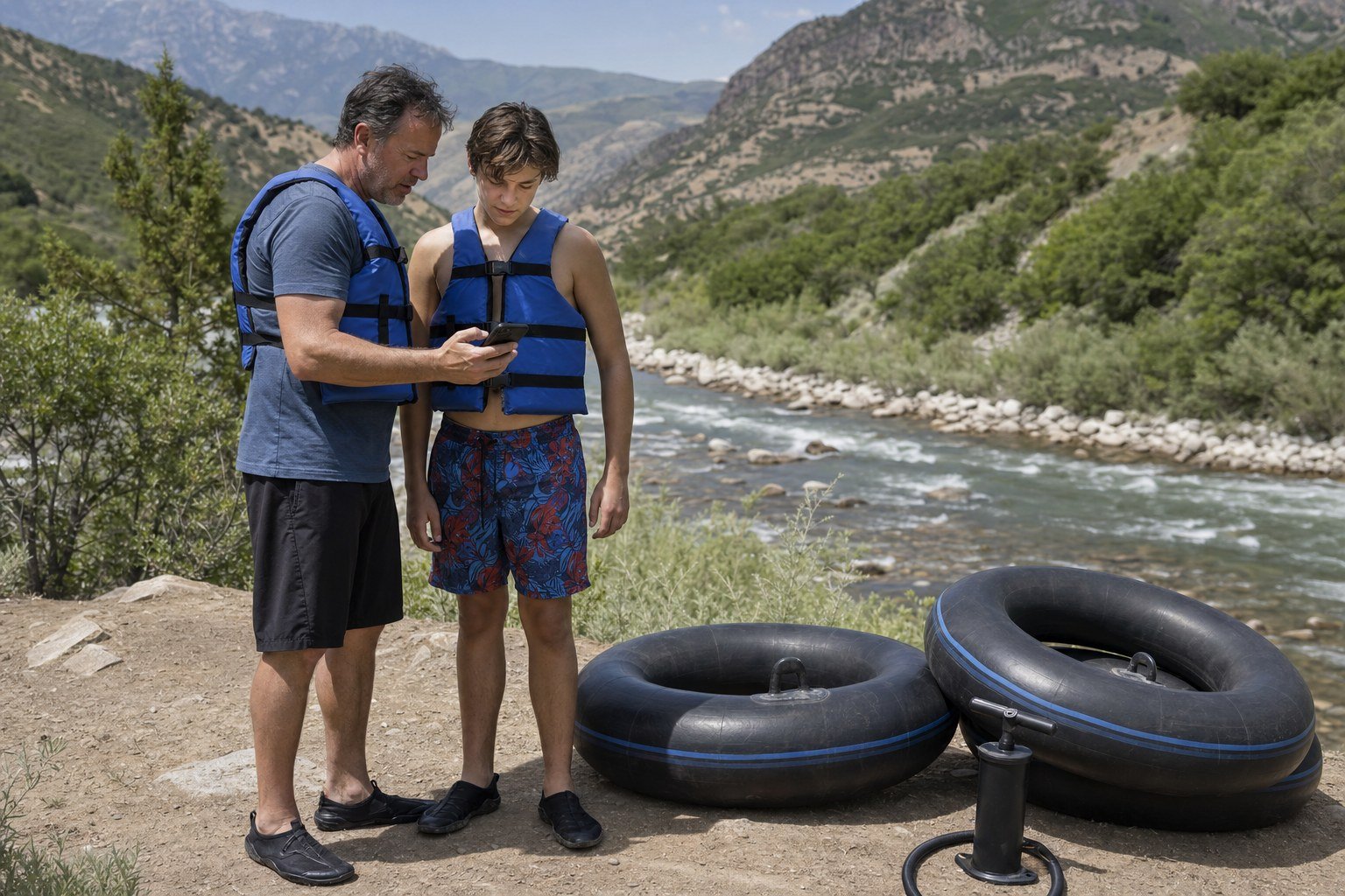
Tube Utah’s weekend Provo River float check puts those pieces in one routine. If the water looks faster, colder, more obstructed or simply beyond someone’s comfort level when you arrive, choose another activity. No screenshot is more important than the conditions in front of you.
What CFS cannot tell you
- Whether the river is appropriate for a particular child or first-timer
- Whether debris, a blocked passage or a new hazard is present
- Whether a life jacket fits correctly
- Whether lightning, wind, heat or road access will change the plan
- Whether your tubes and transportation setup are ready
For a fuller risk discussion, read what first-timers should know about Provo River tubing. The complete Provo River tubing guide covers route planning, gear, put-ins and takeouts.
Gear for the river you actually have today
A flow check works best when the equipment check happens at the same time. Inflate each tube before departure if possible, inspect valves and seams, fit each life jacket to its wearer, and use footwear that stays on in moving water. The guide to what to bring tubing the Provo River has the full packing list.
Tube Utah rents durable river tubes, fitted life jackets and pumps for pickup in American Fork. Review the life jacket and tube rental options before float day so the group is not trying to solve equipment problems beside the river.
FAQ
What is a good CFS for tubing the Provo River?
There is no universal CFS number that makes the river suitable for every person or group. The release is one planning input. Check official current data, recent changes, weather, access, visible river conditions, equipment and the abilities of everyone going. Avoid treating an unsourced number from social media as a safety threshold.
Does a higher Deer Creek release always mean a faster float?
Not in a simple one-number-to-one-speed way. More water can add depth and push, but the channel, obstacles, stops and conditions along the route affect what a tuber experiences. Use the trend to prepare for change, not to predict an exact trip time.
Is the CUWCD release number live?
Central Utah Water publishes a current time-stamped reading, but the dataset is marked provisional and subject to change. Confirm the time stamp every time you check it.
Can I use the USGS gauge below Deer Creek Dam for current flow?
The USGS monitoring-location page is valuable for historical records and statistics, but the continuous discharge record displayed there ends in 2003. For a current Deer Creek release, use a source that shows a recent time stamp, such as Central Utah Water’s dashboard.
Sources and further reading
- Central Utah Water streamflow dashboard and its time-stamped, provisional Deer Creek release dataset
- Provo River Water Users Association Deer Creek data, including daily average release fields
- Bureau of Reclamation: Provo River Project
- U.S. Geological Survey: How streamflow is measured
- USGS monitoring location: Provo River below Deer Creek Dam, historical data through 2003
The current release example was checked at 2:15 a.m. MDT on July 28, 2026. Check the linked official sources again before every trip.