
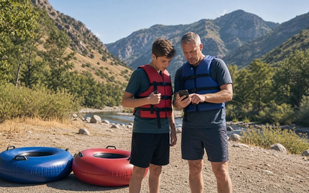
A CFS number looks precise enough to settle a float-day argument. It is not. It tells you how much water is moving past one location, not whether the river is a good fit for your child, your tube or today’s conditions.
Still, CFS is worth learning. Once you know what the number measures, where it came from and whether it is rising or falling, river-flow data becomes much more useful.
Quick answer
CFS means cubic feet per second. It measures the volume of water passing a point each second. One CFS is about 7.48 gallons per second, or roughly 449 gallons per minute.
CFS is not the river’s speed and it is not a safety rating. Match the number to the correct location and time, check the recent trend, then add the channel, weather, cold water, access and abilities of your group.
What CFS actually measures
The U.S. Geological Survey defines discharge as the volume of water moving down a river per unit of time. In the United States, river discharge is commonly reported in cubic feet per second.
Picture an imaginary line across the river. A reading of 100 CFS means 100 cubic feet of water passed that line each second. It does not mean the water traveled 100 feet in a second. Volume and velocity are related, but they are not the same measurement.
USGS hydrologists calculate discharge from the cross-sectional area of the channel and the average water velocity through that cross section:
That simple formula explains why a CFS number needs context. The same volume can spread across a wide reach or squeeze through a narrower opening. Depth, rocks, bends, roughness and bridge openings change what a person in a tube feels.
CFS is not the same as river speed or gauge height
CFS measures volume
CFS answers: “How much water is passing this point each second?” It is also called streamflow or discharge.
Velocity measures speed
Velocity answers: “How fast is the water moving here?” Speed can vary from bank to bank and from the surface to deeper water. A single discharge number does not describe every current in the channel.
Gauge height measures water level at one site
Gauge height, also called stage, is the height of the water surface above a fixed reference point at a particular gauge. USGS uses a site-specific relationship between stage and discharge to estimate streamflow. That relationship can change as sediment, vegetation, debris or ice changes the channel.
This is why you should not compare a gauge-height number from one site with a CFS number from another and assume they describe the same thing.
Why more flow can feel different in a tube
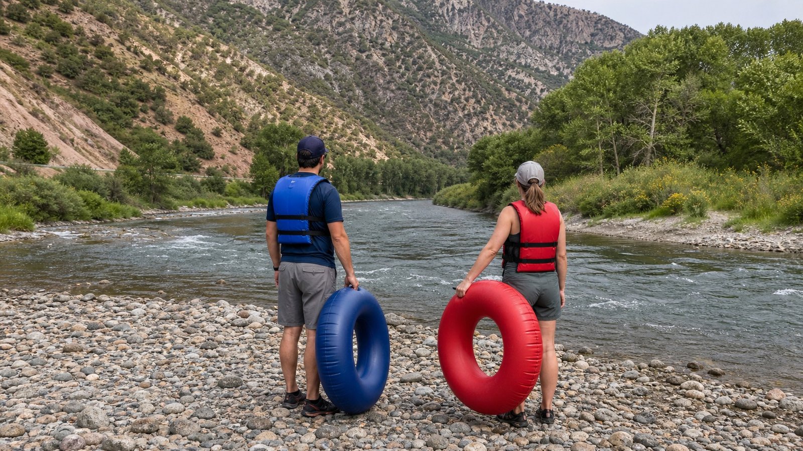
When discharge rises, more water is moving through the channel. Depending on the reach, that can add depth and push, cover rocks that were visible before, or leave less time to adjust near a bend or obstruction. When discharge falls, shallow rocks and contact points may become more exposed.
Neither direction creates a universal rule. Higher is not automatically better, and lower is not automatically easier. A lower reading can mean more rock contact in one place. A higher reading can make another section feel more forceful. The channel decides how the volume shows up.
Flow can also affect float time, but it cannot predict an exact arrival. Stops, crowding, route choice, obstacles and the group’s ability all matter. Build some margin into your pickup plan.
How to read a river-flow page without fooling yourself
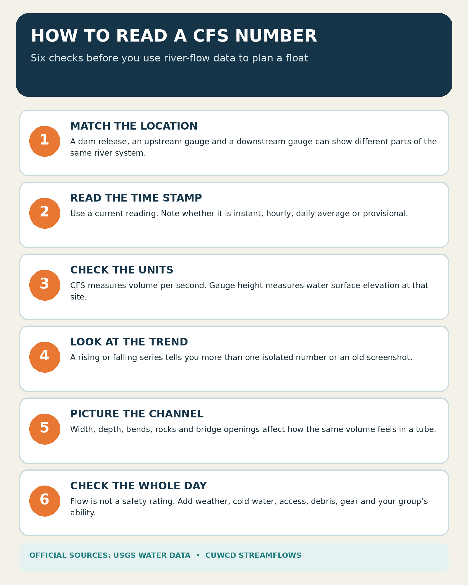
- Match the location. A dam release, an upstream gauge and a downstream gauge are not interchangeable. Diversions, tributaries and distance can change the amount of water at another point.
- Read the time stamp. Check whether the value is current, delayed, provisional or a daily average. An old screenshot is not a current condition check.
- Confirm the units. Look for CFS, gauge height, reservoir elevation or acre-feet. These numbers answer different questions.
- Look at the trend. A short series shows whether flow has been steady, rising or falling. One isolated number hides that movement.
- Check the source notes. Near-real-time water data is often provisional and may be revised after review.
- Read the river when you arrive. Data cannot show every new branch, blocked passage, crowded access point or local current.
For the lower Provo River, Central Utah Water publishes a time-stamped streamflow dashboard. The Provo River Water Users Association’s Deer Creek table reports daily reservoir information, including average release in CFS. Read the labels and dates before comparing them.
Tube Utah’s guide to how Deer Creek releases affect Provo River tubing explains the local release data in more detail.
Why there is no universal “good CFS” for tubing
A number that feels manageable to one experienced group on one reach can be a poor choice for first-timers somewhere else. Even on the same river, channel shape and obstacles change from section to section.
A responsible float decision also includes:
- current weather and lightning risk
- water temperature and the possibility of sudden immersion
- road, parking, put-in and takeout access
- visible debris, obstructions and changes in the channel
- properly fitted life jackets and river-ready tubes
- the age, confidence and ability of every person in the group
The National Weather Service warns that warm air does not guarantee warm water and recommends checking water temperature and wearing a life jacket around cold water. Our guide to why the Provo River stays cold in summer covers that part of the plan.
If a number looks unfamiliar, conditions have changed sharply, or the river looks beyond someone’s comfort level, skip the float. A familiar CFS reading never overrules what is in front of you.
A practical Provo River check before launch
Start with current official data, not a remembered number from last weekend. Then run the rest of the day through the Provo River float checklist: weather, access, group readiness and gear.
First-timers should also read the complete Provo River tubing guide and the honest answer to whether the Provo River is appropriate for their group. Those pages give the CFS number the route and safety context it cannot provide on its own.
Bring equipment that fits the actual day
Flow data is useful only if the rest of the setup is ready. Inflate tubes before departure when possible, inspect seams and valves, fit each life jacket to its wearer, and use footwear that stays on. The first-timer Provo River packing list covers the small items people tend to miss.
Tube Utah rents durable river tubes, life jackets and pumps for pickup in American Fork. Review the life jacket and tube rental options before the group heads toward the canyon.
FAQ
What does 1 CFS mean?
It means one cubic foot of water passes the measurement point each second. That is about 7.48 gallons per second, or roughly 449 gallons per minute.
Does higher CFS always mean a faster float?
No. More discharge can add depth and push, but river speed and float time also depend on the channel, obstacles, stops and conditions along the route. Treat CFS as one input, not a trip-time calculator.
Can two gauges on the same river show different CFS readings?
Yes. They measure different locations. Tributaries, diversions, reservoir releases and the distance between gauges can all matter. Always match the gauge to the reach you plan to use.
Is there a safe CFS number for tubing the Provo River?
There is no single official number that makes the river suitable for every person or every day. Check current official data and the trend, then consider weather, cold water, access, visible conditions, equipment and your group. Do not borrow an unsourced threshold from social media.
Sources and further reading
- U.S. Geological Survey: How streamflow is measured
- U.S. Geological Survey: Streamflow and the water cycle
- Central Utah Water streamflow dashboard
- Provo River Water Users Association: Deer Creek data
- Bureau of Reclamation: Provo River Project
- National Weather Service: Cold water hazards and safety
River readings and conditions change. Check the linked official sources again before every trip.